
|
The following services are offered at a highly competitive rate:
Mine/Prospect scale analysis; Regional/District scale analysis; Production of high quality reports and maps. For a free quotation please contact us with details of your area of interest and your requirements: frxmurphy@gmail.com |
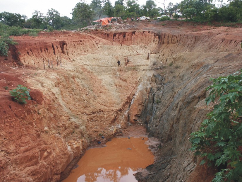
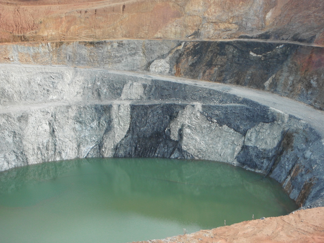
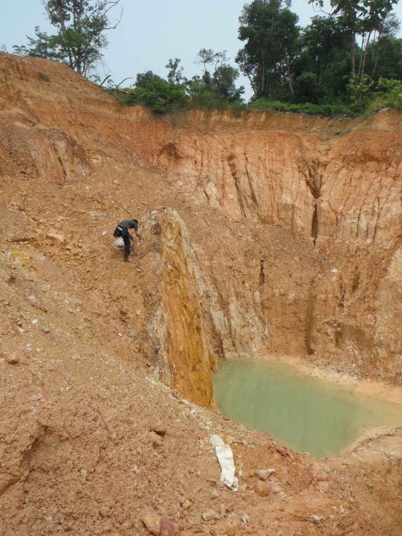
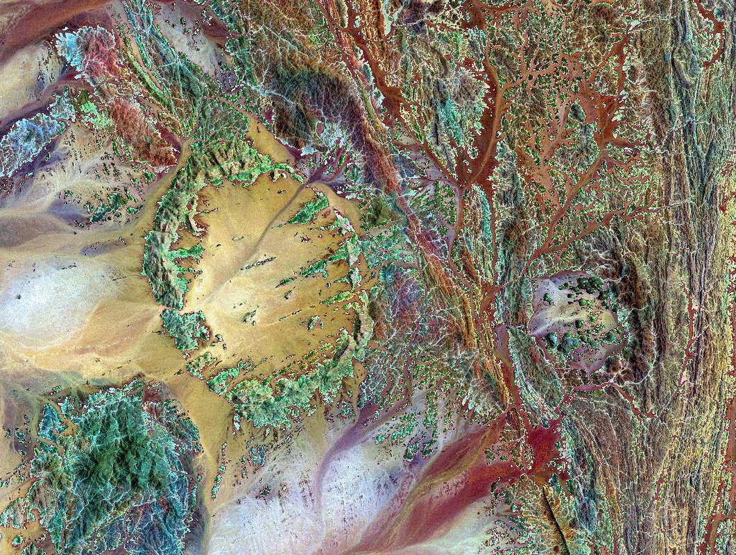
Mine/Prospect scale analysis
Pleiades, SPOT 5.
|
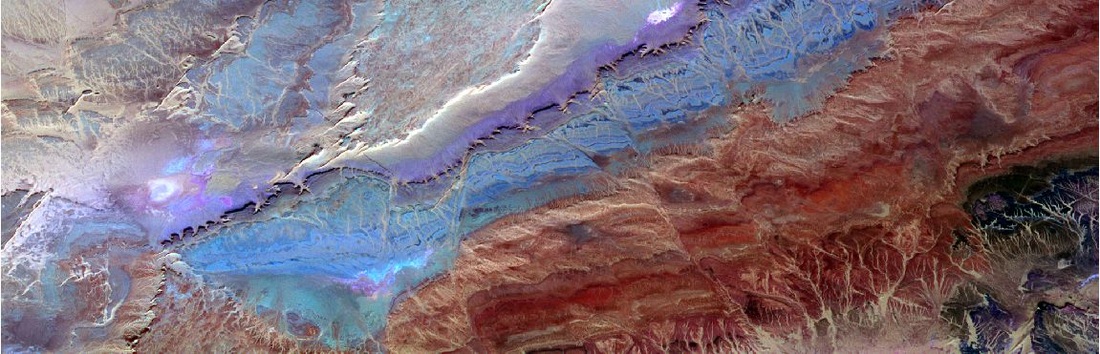
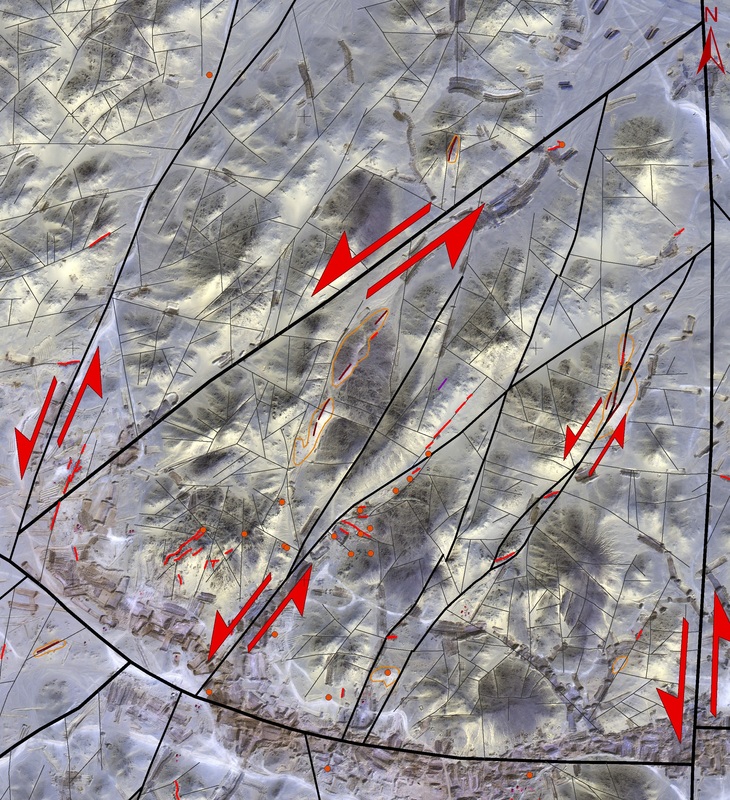
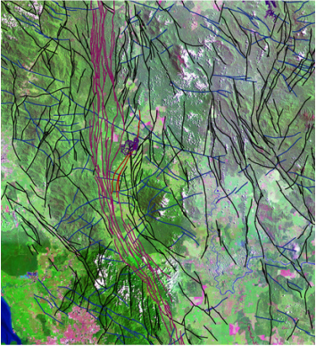
Regional/District scale analysis
|
Reports and maps
|
